Overview
What is Picterra?
Picterra is geospatial AI enterprise software used to detect objects, patterns, and change in satellite and drone imagery faster by managing the entire geospatial ML pipeline with a cloud-native platform. By combining a no-code approach, a user-friendly interface, scalability, and…
Recent Reviews

Leaving a review helps other professionals like you evaluate Machine Learning Tools
Be the first one in your network to review Picterra, and make your voice heard!
Get StartedPricing
Entry-level set up fee?
- Setup fee optional
For the latest information on pricing, visithttps://picterra.ch/pricing
Offerings
- Free Trial
- Free/Freemium Version
- Premium Consulting/Integration Services
Would you like us to let the vendor know that you want pricing?
Alternatives Pricing
Product Demos
How to create a detector and see client examples
YouTube
Picterra interactive demo
Navattic
Product Details
- About
- Integrations
- Competitors
- Tech Details
- Downloadables
What is Picterra?
Picterra is geospatial AI enterprise software used to detect objects, patterns, and change in satellite and drone imagery faster by managing the entire geospatial ML pipeline with a cloud-native platform. By combining a no-code approach, a user-friendly interface, scalability, and machine learning technology, Picterra helps to accelerate the development of full-scale ML projects.
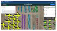
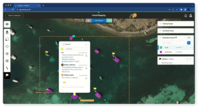
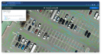
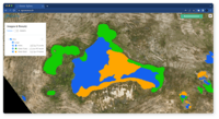
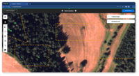
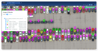
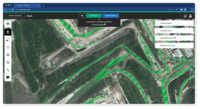
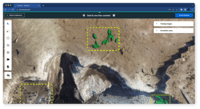
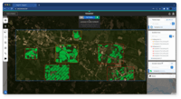
Picterra Screenshots
Picterra Video
How to revolutionize safety in mining operations using geospatial data & AI
Picterra Integrations
Picterra Competitors
Picterra Technical Details
| Deployment Types | Software as a Service (SaaS), Cloud, or Web-Based |
|---|---|
| Operating Systems | Unspecified |
| Mobile Application | No |
| Supported Countries | Global |

