DroneDeploy vs. Optelos
DroneDeploy vs. Optelos
| Product | Rating | Most Used By | Product Summary | Starting Price |
|---|---|---|---|---|
 DroneDeploy | N/A | DroneDeploy, the eponymous cloud software platform for commercial drones from the company in San Francisco, makes aerial data accessible and productive. Boasting users among brands globally, DroneDeploy aims to transform the way businesses leverage drones and aerial data across industries, including agriculture, construction, mining, inspection and surveying. DroneDeploy enables professional-grade imagery and analysis, 3D modeling and more from any drone on any device. | N/A | |
 Optelos | N/A | Optelos is a data management and AI analytics platform that addresses the needs of large enterprises to standardize visual asset inspection data management, workflow administration, team collaboration enablement and IT security policy enforcement. Optelos transforms visual and sensor asset inspection data into actionable insights through our patented technology that geolocates and correlates visual and sensor inspection data from multiple sources into an intuitive, searchable and… | N/A |
| DroneDeploy | Optelos | |||||||||||||||
|---|---|---|---|---|---|---|---|---|---|---|---|---|---|---|---|---|
| Editions & Modules | No answers on this topic | No answers on this topic | ||||||||||||||
| Offerings |
| |||||||||||||||
| Entry-level Setup Fee | No setup fee | Optional | ||||||||||||||
| Additional Details | — | — | ||||||||||||||
| More Pricing Information | ||||||||||||||||
| DroneDeploy | Optelos |
|---|
| DroneDeploy | Optelos | |
|---|---|---|
| Likelihood to Recommend | 10.0 (0 ratings) | - (0 ratings) |
| DroneDeploy | Optelos | |
|---|---|---|
| Likelihood to Recommend | 
|  No answers on this topic |
| ScreenShots | Optelos Screenshots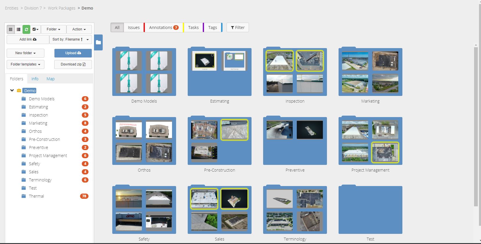 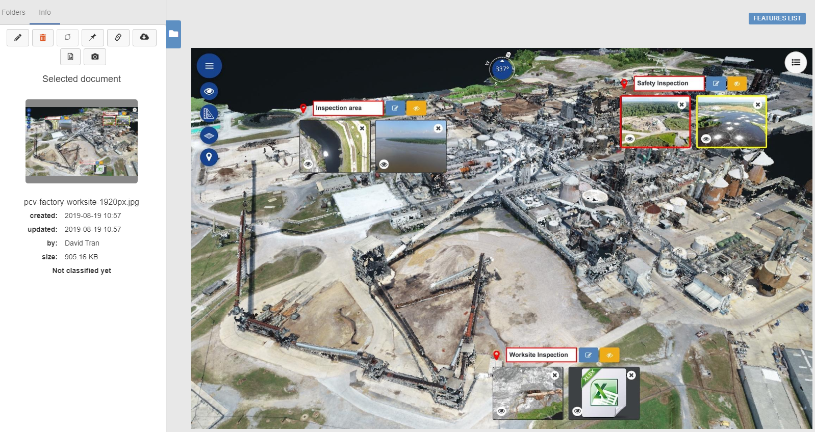  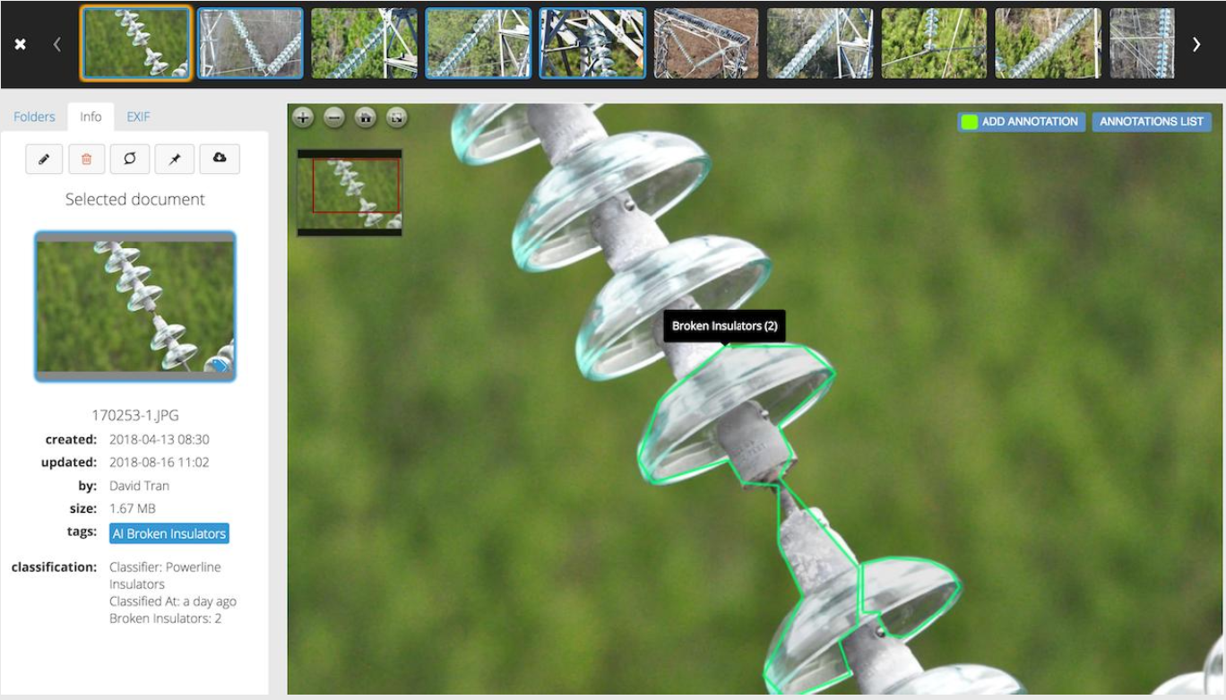  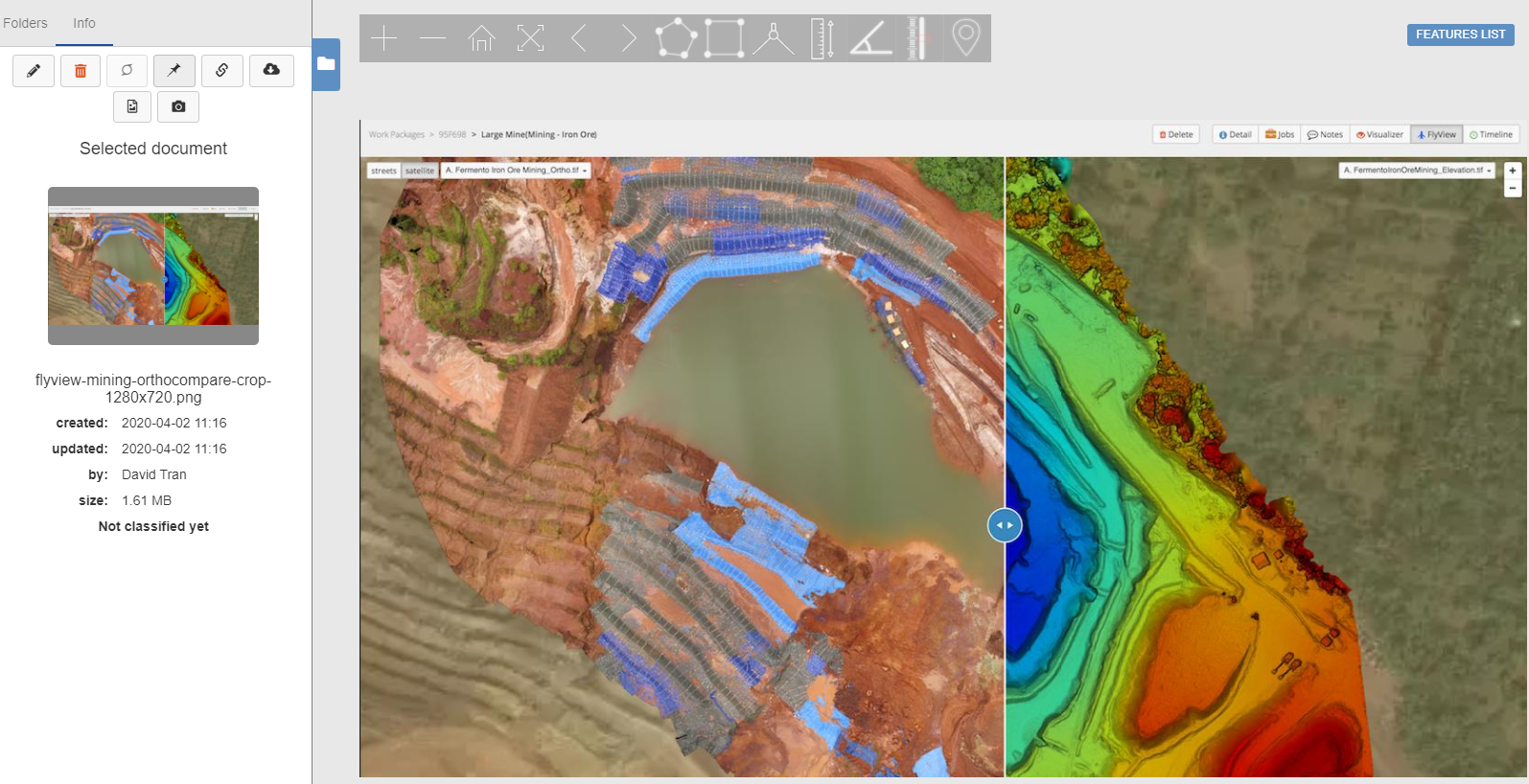 |