Wherobots
Wherobots
| Product | Rating | Most Used By | Product Summary | Starting Price |
|---|---|---|---|---|
 Wherobots | N/A | Wherobots, a Spatial Intelligence Cloud, aims to enable data teams to innovate with data about the physical world faster, and at greater scale. Built by the creators of Apache Sedona, it's a lakehouse engine that unifies spatial and non-spatial data, automates data workflows, and runs AI on planetary scale imagery. Spatial data refers to information about places, objects, or activities. Examples include GPS points and tracks, routes, land, road, parcel, crop, and… | N/A |
| Wherobots | |||||||||||
|---|---|---|---|---|---|---|---|---|---|---|---|
| Editions & Modules | No answers on this topic | ||||||||||
| Offerings |
| ||||||||||
| Entry-level Setup Fee | No setup fee | ||||||||||
| Additional Details | — | ||||||||||
| More Pricing Information | |||||||||||
| Wherobots | |
|---|---|
| Small Businesses |  ArcGIS Score 7.9 out of 10 |
| Medium-sized Companies | ArcGIS Score 7.9 out of 10 |
| Enterprises | ArcGIS Score 7.9 out of 10 |
| All Alternatives | View all alternatives |
| Wherobots | |
|---|---|
| ScreenShots | Wherobots Screenshots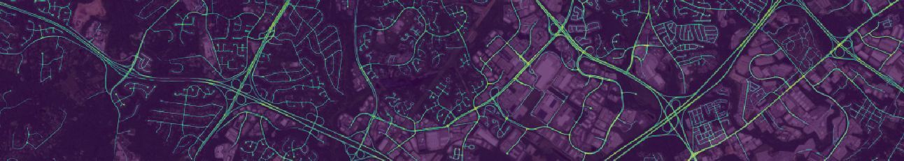 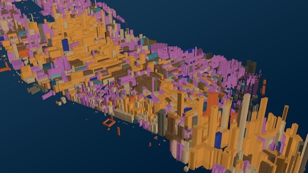 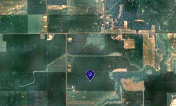 |