
What is Wherobots?
Wherobots, a Spatial Intelligence Cloud, aims to enable data teams to innovate with data about the physical world faster, and at greater scale. Built by the creators of Apache Sedona, it's a lakehouse engine that unifies spatial and non-spatial data, automates data workflows, and runs AI on planetary scale imagery.
Spatial data refers to information about places, objects, or activities. Examples include GPS points and tracks, routes, land, road, parcel, crop, and building data, as well as imagery from drones and satellites. This data is fundamental to various industries including aerospace, mobility, ag-tech, insurance, energy, telecommunications, retail, and logistics. Wherobots handles these diverse spatial data types and formats.
The vendor states that Wherobots is SOC2 and GDPR compliant.
Categories & Use Cases
Media
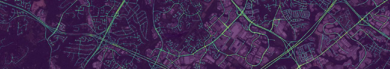
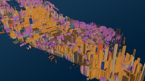
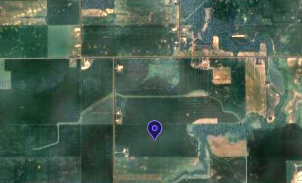
1 / 3
Screenshot of using Wherobots RasterFlow and the ChesapeakeRSC model