IGiS Desktop (Powered by Scanpoint Geomatics Limited) vs. MapInfo Pro

Overview
ProductRatingMost Used ByProduct SummaryStarting Price
IGiS Desktop (Powered by Scanpoint Geomatics Limited)
Score 7.0 out of 10
N/A
IGiS Desktop provides advanced GIS software for GIS mapping and image processing by aiming to use innovative ways of analyzing, visualizing, and processing geographic data. IGiS Desktop aims to redefine the GIS software industry with integrated GIS mapping, and image processing capabilities with advanced analysis extensions on a single platform. It makes collaboration easy with OGC-supported platforms. Standardized UI and ribbon-based navigation make the user-interface intuitive and…N/A
MapInfo Pro
Score 8.1 out of 10
N/A
Pitney Bowes offers MapInfo Pro, a Geographic Information System (GIS).N/A
Pricing
IGiS Desktop (Powered by Scanpoint Geomatics Limited)MapInfo Pro
Editions & Modules
No answers on this topic
Offerings
Pricing Offerings
IGiS Desktop (Powered by Scanpoint Geomatics Limited)MapInfo Pro
Free Trial
NoNo
Free/Freemium Version
NoNo
Premium Consulting/Integration Services
NoNo
Entry-level Setup FeeNo setup feeNo setup fee
Additional Details
More Pricing Information
Community Pulse
IGiS Desktop (Powered by Scanpoint Geomatics Limited)MapInfo Pro
Best Alternatives
IGiS Desktop (Powered by Scanpoint Geomatics Limited)MapInfo Pro
Small Businesses
ArcGIS
ArcGIS
Score 8.0 out of 10
ArcGIS
ArcGIS
Score 8.0 out of 10
Medium-sized Companies
ArcGIS
ArcGIS
Score 8.0 out of 10
ArcGIS
ArcGIS
Score 8.0 out of 10
Enterprises
ArcGIS
ArcGIS
Score 8.0 out of 10
ArcGIS
ArcGIS
Score 8.0 out of 10
All AlternativesView all alternativesView all alternatives
User Ratings
IGiS Desktop (Powered by Scanpoint Geomatics Limited)MapInfo Pro
Likelihood to Recommend
-
(0 ratings)
9.0
(2 ratings)
Support Rating
-
(0 ratings)
10.0
(1 ratings)
User Testimonials
IGiS Desktop (Powered by Scanpoint Geomatics Limited)MapInfo Pro
Likelihood to Recommend
Scanpoint Geomatics Limited
No answers on this topic
Precisely
MapInfo Pro is great for creating and editing spatial data and creating both simple and complex maps. I find it easy to locate tools now that the software has transitioned to a ribbon based toolbar. I also love that you can expand on functionality in MapInfo by adding third party tools as well.
Read full review
Pros
Scanpoint Geomatics Limited
No answers on this topic
Precisely
  • Gridding
  • Format conversions
  • Import of data is easy
Read full review
Cons
Scanpoint Geomatics Limited
No answers on this topic
Precisely
  • The 3D capability in Datamine is a little outdated and hard to use
  • The labelling can sometimes be a little hit and miss
Read full review
Support Rating
Scanpoint Geomatics Limited
No answers on this topic
Precisely
MapInfo Pro customer support has always been quick and very helpful with any issues I have had with the software. They usually get back to you about your enquiry within 24 hours and they also tend to follow up to make sure your issue was resolved. I find it refreshing to be able to contact their experts quickly and easily.
Read full review
Alternatives Considered
Scanpoint Geomatics Limited
No answers on this topic
Precisely
I find ArcGIS more comprehensive but with a more confusing interface; however this may be because I learned MapInfo first. Surfer and Global Mapper do more specific things better; but MapInfo is a good overall product for sophisticated GIS
Read full review
Return on Investment
Scanpoint Geomatics Limited
No answers on this topic
Precisely
  • Tracking of drilling programmes
  • Gridding of data in the field
  • Saves time on hand drawing maps
Read full review
ScreenShots

IGiS Desktop (Powered by Scanpoint Geomatics Limited) Screenshots
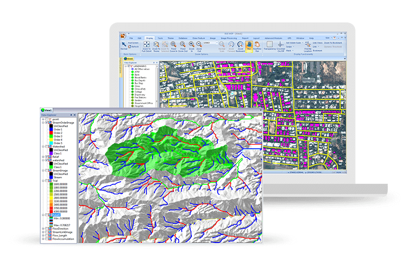
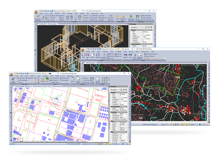
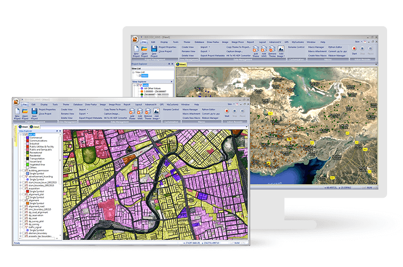
Screenshot of Easily Create, View and Analyse Your Geospatial Data: Next-generation cartographic and visualisation tools for conceptualisation, production, dissemination, and analysis of 2D and 3D maps. It is a 64-bit, Unicode compliant Desktop GIS with an intuitive user interface where data can be viewed in multiple tabs using Multiple Document Interface (MDI).Screenshot of Make Your Life Simpler with Integrated IGiS Software: IGiS aims to redefine the GIS industry with integrated GIS and Image Processing capabilities with advanced analysis extensions on a single platform. Being an OGC compliant platform, makes it easy to collaborate in heterogeneous environment. Standardized UI and ribbon-based navigation makes it easy to use and adapt.Screenshot of Advanced Geo-Processing: IGiS has advanced tools for GIS data conversion, analysis, and visualisation. Advance geospatial users can effectively use tools like Topology creation, Geo-processing, overlay analysis, attribute query builder for desired analysis and output.Screenshot of Efficient Image Processing: IGiS has a rich array of tools and analytical models to analyse and process images. It can manage a multitude of image sources like aerial, satellite, optical, microwave, LIDAR, stereo, GPR, and more. Through smart modelling techniques, IGiS efficiently visualises, analyses, and processes image data, identify patterns, explore changes over time, and carry out scientific analysis to understand spatial relationships.Screenshot of Integrated CAD Tool: IGiS CAD is an extensive mapping tool with cartographic as well as engineering capabilities for mapping real-world objects. IGiS CAD has efficient, fast, user-friendly and feature rich tool to convert and digitize 2D and 3D GIS data. Using Coordinate Geometry (COGO) descriptions, users can accurately create features from any engineering drawing sources and geo-reference them into the GIS database.Screenshot of Manage and Analyse Data Seamlessly: IGiS enables you to store, manage, and edit geospatial data seamlessly. It is a comprehensive tool that supports data integration for a wide range of geospatial data formats including real-time sensor data and big data. Compliance to OGC Standards enables you to store and share data through privileged authentication.