Kespry vs. Optelos
Kespry vs. Optelos
| Product | Rating | Most Used By | Product Summary | Starting Price |
|---|---|---|---|---|
 Kespry | N/A | Kespry is a provider of drone systems for commercial markets. It is designed to enable capture, analysis, and sharing of aerial data for use in aggregate mining, agriculture, and other industries where arial topography analysis is important. | N/A | |
 Optelos | N/A | Optelos is a data management and AI analytics platform that addresses the needs of large enterprises to standardize visual asset inspection data management, workflow administration, team collaboration enablement and IT security policy enforcement. Optelos transforms visual and sensor asset inspection data into actionable insights through our patented technology that geolocates and correlates visual and sensor inspection data from multiple sources into an intuitive, searchable and… | N/A |
| Kespry | Optelos | |||||||||||||||
|---|---|---|---|---|---|---|---|---|---|---|---|---|---|---|---|---|
| Editions & Modules | No answers on this topic | No answers on this topic | ||||||||||||||
| Offerings |
| |||||||||||||||
| Entry-level Setup Fee | No setup fee | Optional | ||||||||||||||
| Additional Details | — | — | ||||||||||||||
| More Pricing Information | ||||||||||||||||
| Kespry | Optelos |
|---|
| Kespry | Optelos | |
|---|---|---|
| Likelihood to Recommend | 10.0 (2 ratings) | - (0 ratings) |
| Kespry | Optelos | |
|---|---|---|
| Likelihood to Recommend | Kespry
| Optelos No answers on this topic |
| Pros | Kespry
 John P Davenport Experienced industrial commercial drone Consultant, sUAS Pilot, 3d modeler for machine control | Optelos No answers on this topic |
| Cons | Kespry
| Optelos No answers on this topic |
| Alternatives Considered | Kespry
John P Davenport Experienced industrial commercial drone Consultant, sUAS Pilot, 3d modeler for machine control | Optelos No answers on this topic |
| Return on Investment | Kespry
| Optelos No answers on this topic |
| ScreenShots | Optelos Screenshots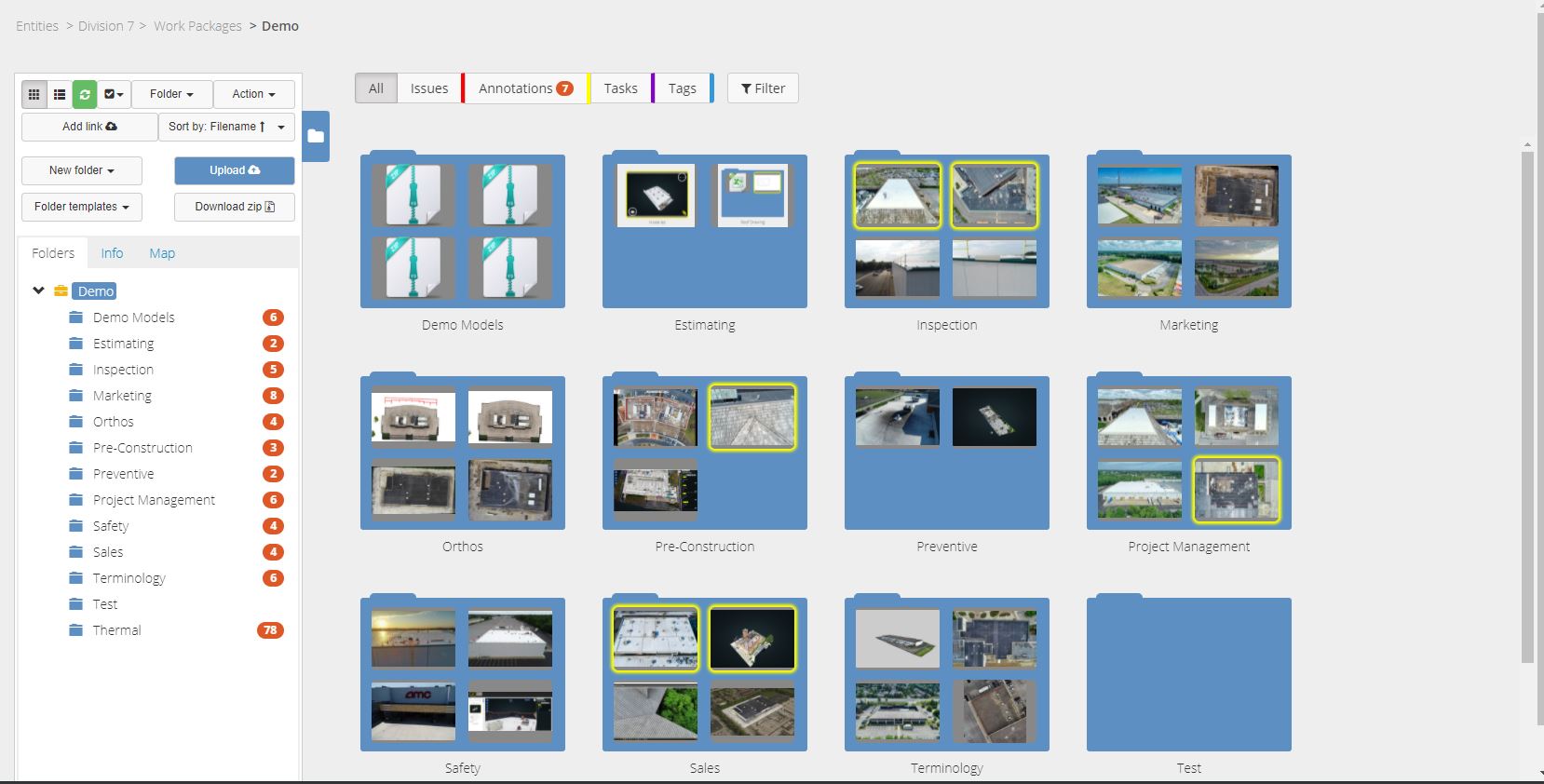 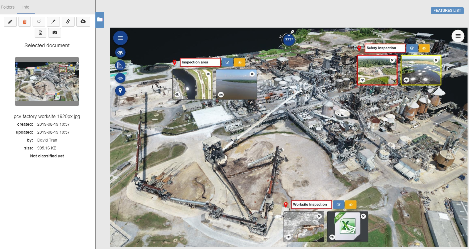  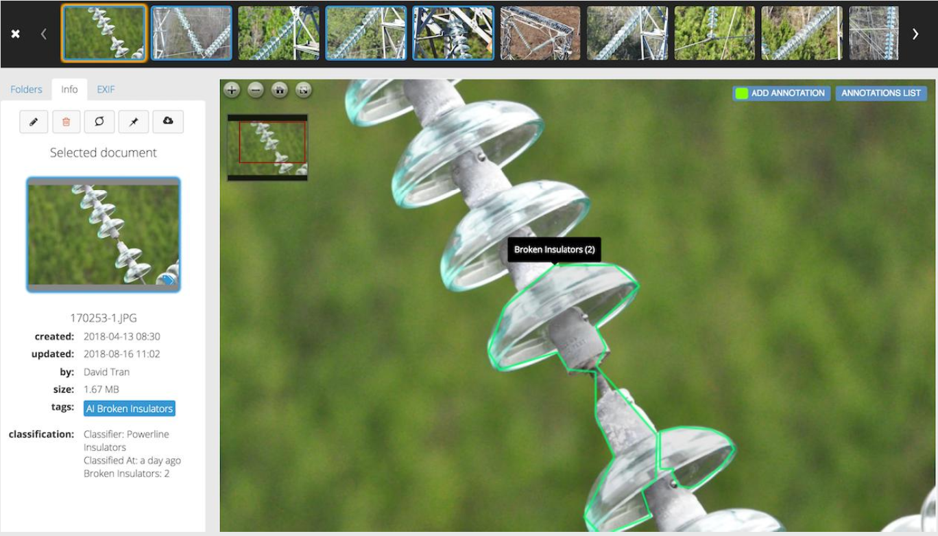  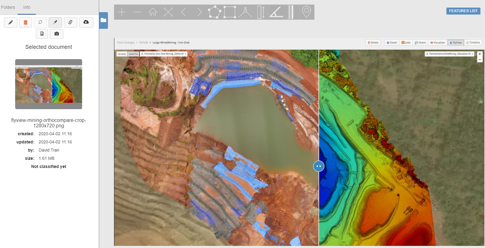 |