TrustRadius: an HG Insights company

What is MAPOG?

MAPOG is a mapping platform that transforms locations, projects, portfolios, and data into interactive visual maps. Instead of scattered files or reports, users can import data from CSV or Excel and display every site on a single map with photos, videos, links, and key details for each point. Users can add custom base maps using geo-referencing to showcase campuses, layouts, or property overviews, and use bearing angle measurement for navigation, planning, or surveying.

Read more details.

Media

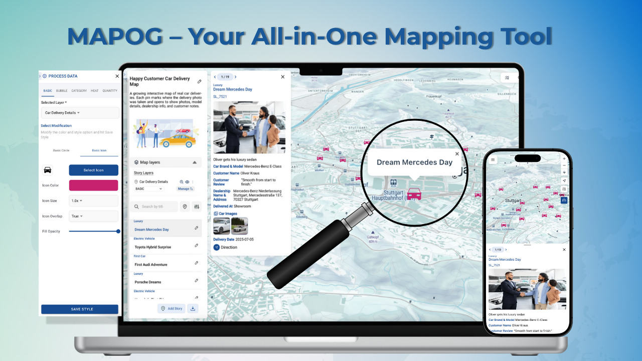
Screenshot of MAPOG's Interactive Maps
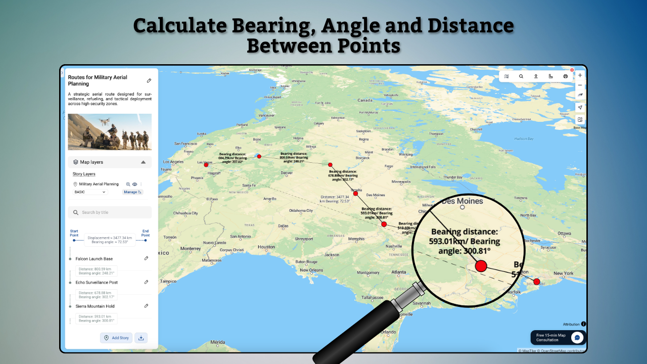
Screenshot of the Bearing Angle, used to measure directions, distances, and angles for navigation, planning, or surveying.
Screenshot of Geo-referencing, which is where to add custom base maps to display campuses, layouts, or property overviews.
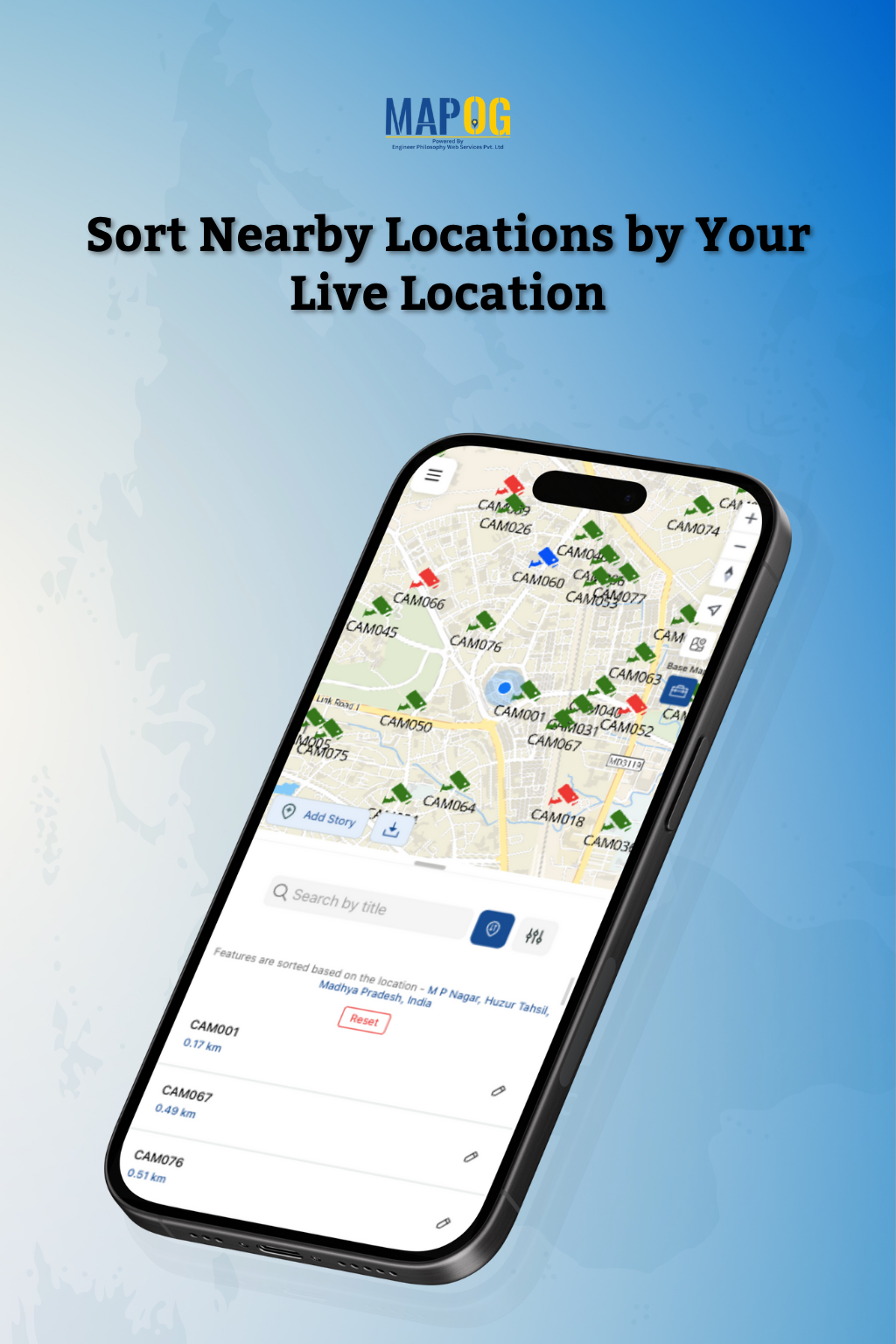
Screenshot of Live Location Sorting. This is used to sort nearby sites based on a current location for faster visits.
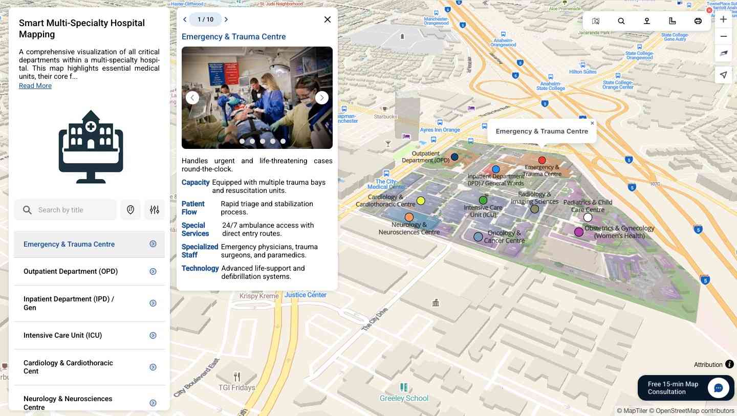
Screenshot of a hospital campus overview map
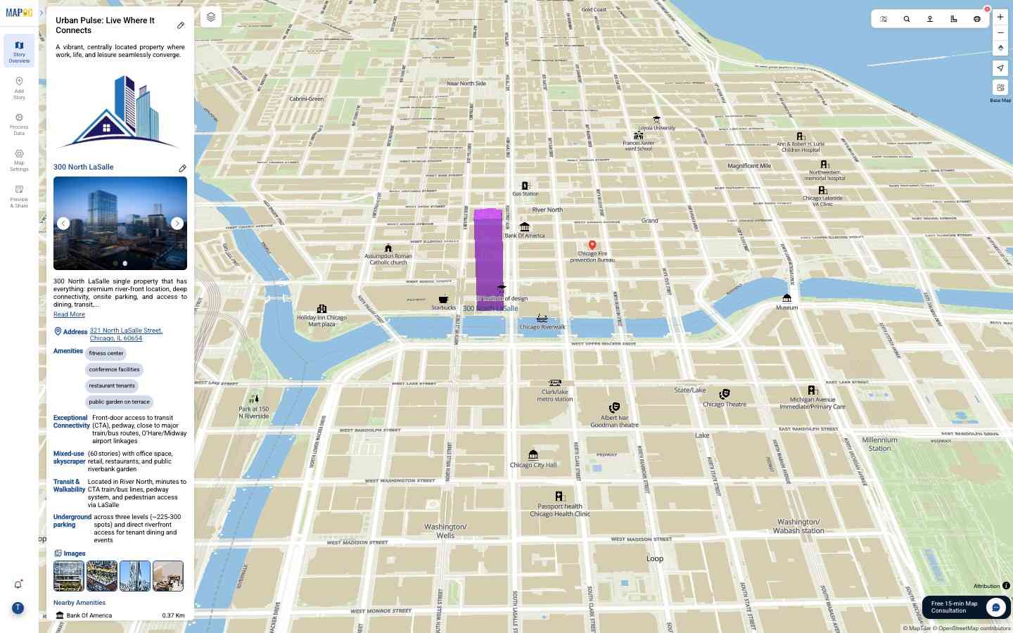
Screenshot of a single property listing map
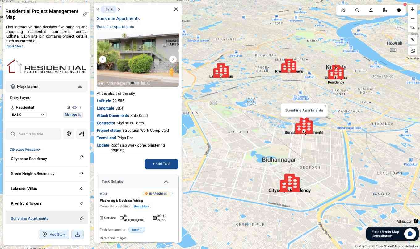
Screenshot of where to manage properties on a map
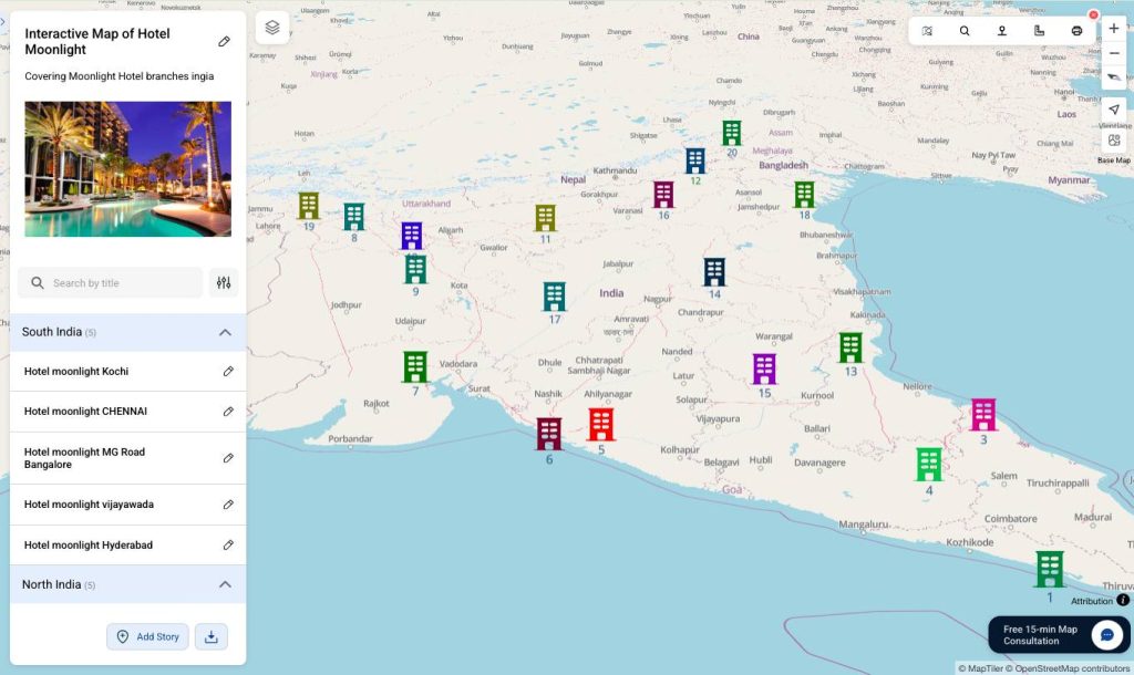
Screenshot of the management of a hotel chain on a map
Screenshot of the task management feature, used to assign, track, and manage location-based tasks.
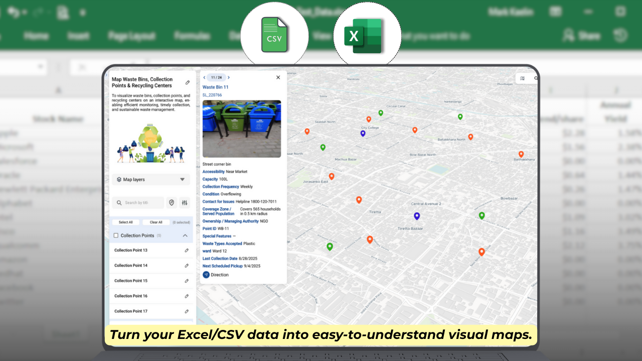
Screenshot of CSV/Excel Import. This is used to import data to instantly generate map points.
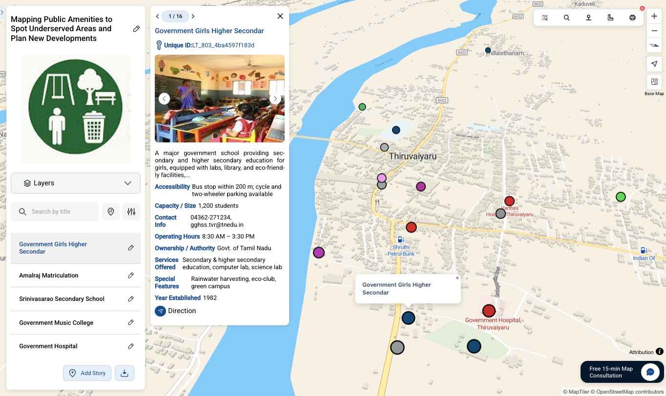
Screenshot of a public amenities map, designed for simplifying field surveys and management
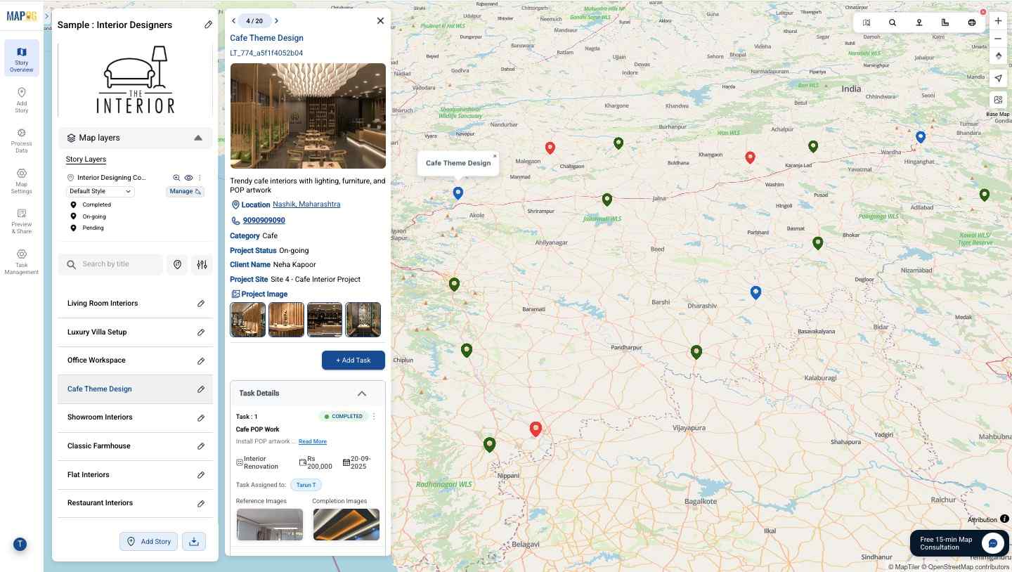
Screenshot of an interior designer's portfolio map
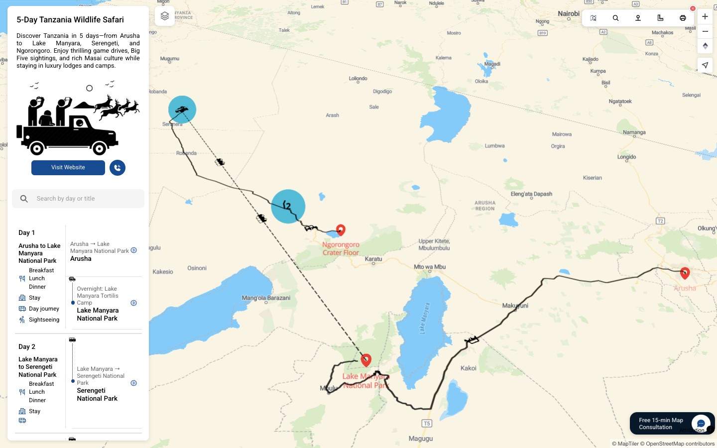
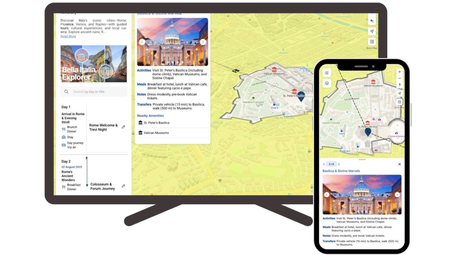
Screenshot of a travel itinerary map
Screenshot of an agriculture map
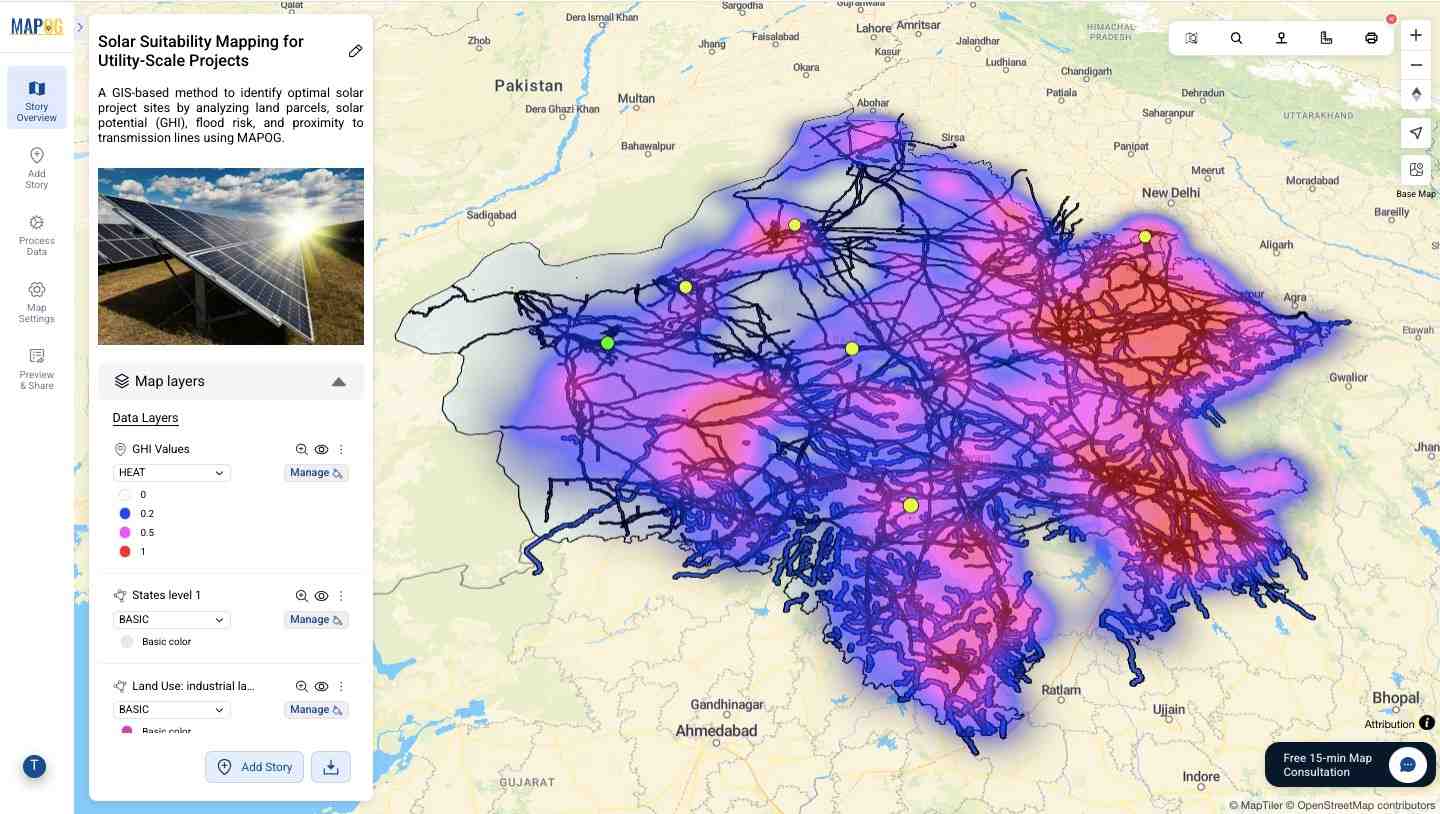
Screenshot of solar suitable locations on a map
Screenshot of an interactive travel map
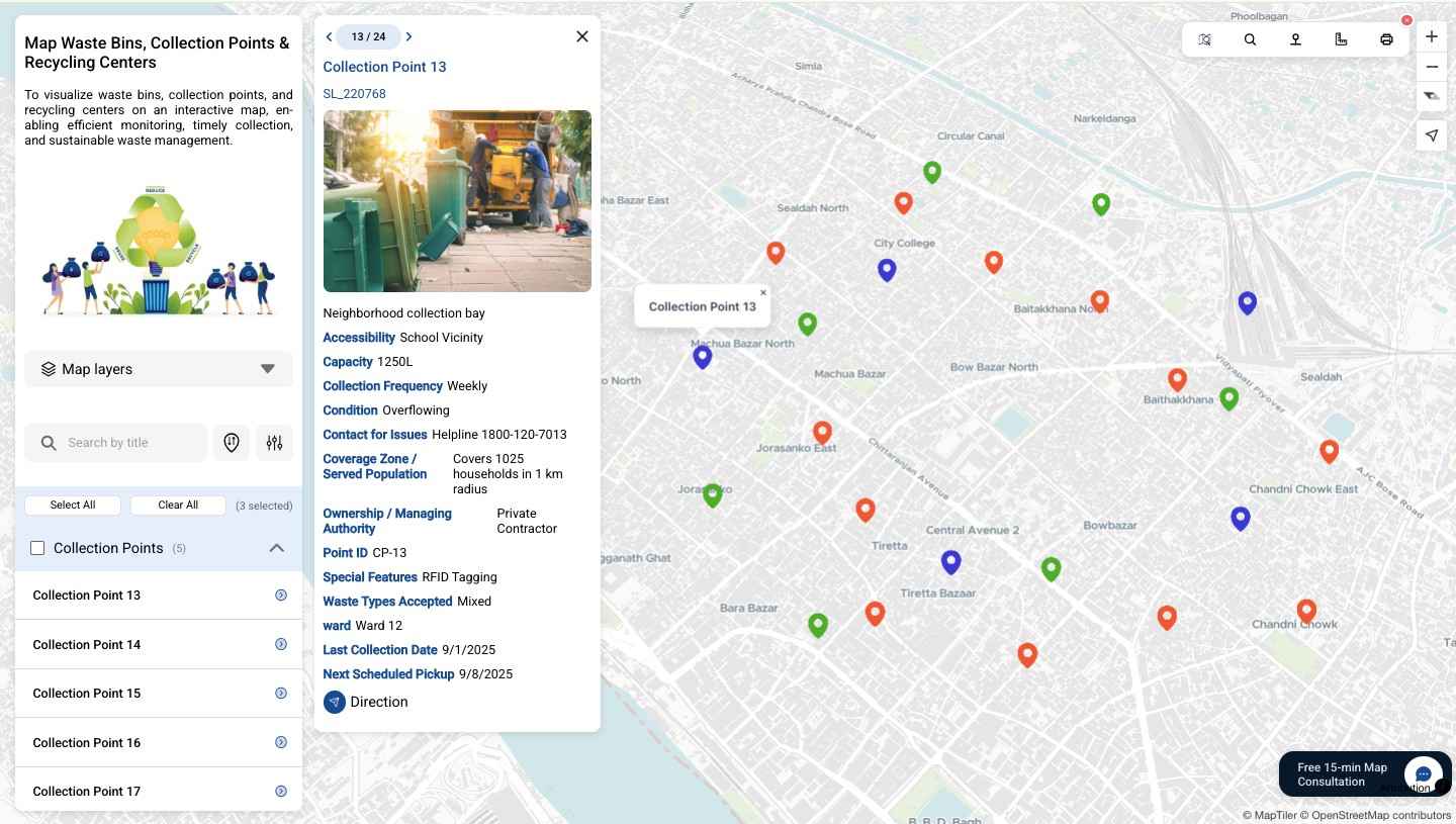
Screenshot of a waste management map
Screenshot of a college campus overview map
Screenshot of management of clients on a map (tracking and maintaining)
Screenshot of a bearing angle used to plan navigation
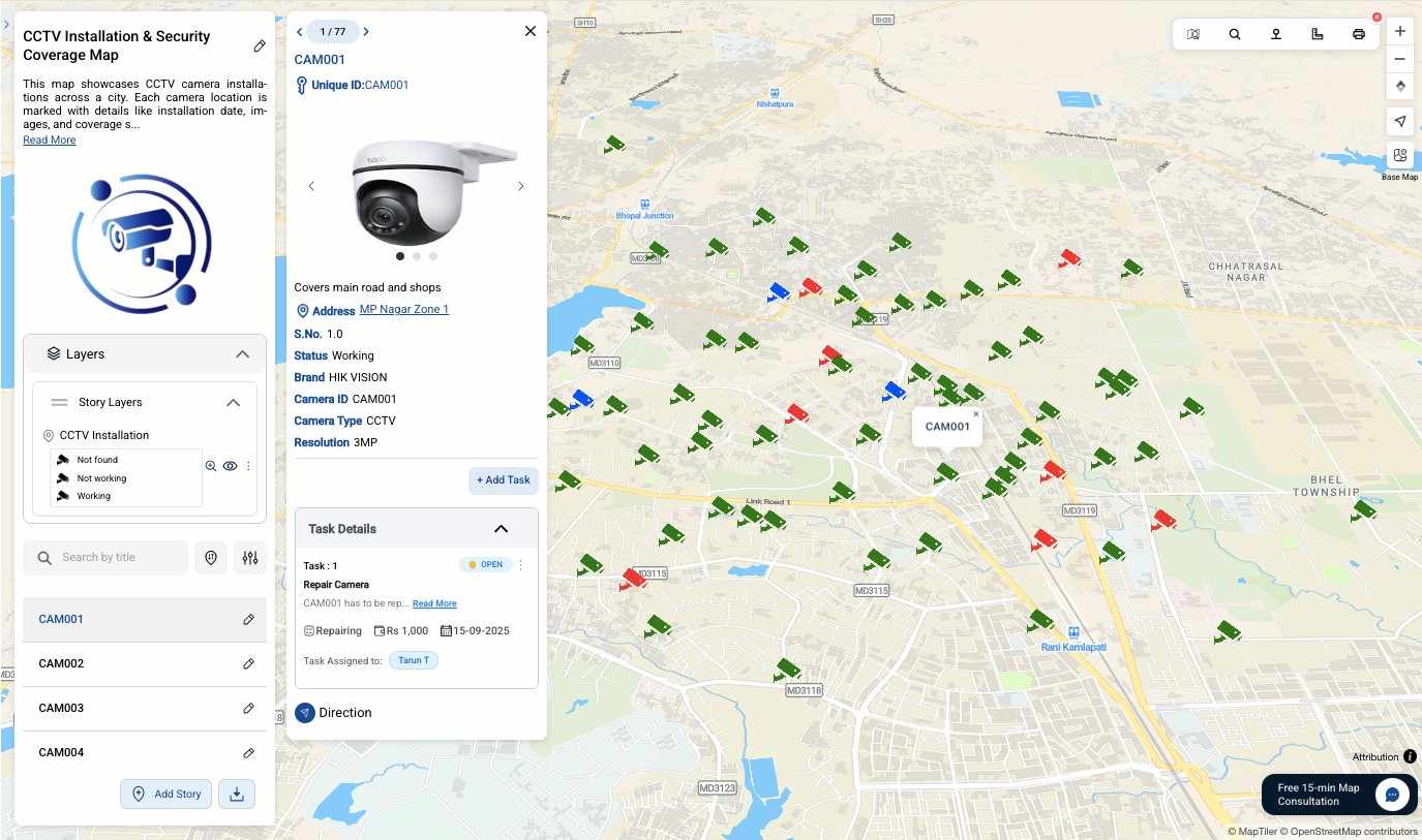
Screenshot of a CCTV installation map used to show, track and maintain

1 / 21

Screenshot of MAPOG's Interactive Maps