CARTO vs. Smappen
CARTO vs. Smappen
| Product | Rating | Most Used By | Product Summary | Starting Price |
|---|---|---|---|---|
 CARTO | N/A | Carto (formerly CartoDB) in Brooklyn, New York offers their location intelligence solution. | N/A | |
 Smappen | N/A | Smappen is a Franchise Territory Mapping solution designed for franchise development teams to create viable and defensible territories without requiring specialized GIS expertise. Capabilities include: Territory Design by Postal Codes, Zip Codes, 3-digit FSAs, Drive Time, Walk Time, or Administrative Boundaries such as Counties and Census Tracts. Viability Validation using Demographic Layers including Population, Age Brackets, Income, and POI… | $99 per month |
| CARTO | Smappen | |||||||||||||||
|---|---|---|---|---|---|---|---|---|---|---|---|---|---|---|---|---|
| Editions & Modules | No answers on this topic |
| ||||||||||||||
| Offerings |
| |||||||||||||||
| Entry-level Setup Fee | No setup fee | No setup fee | ||||||||||||||
| Additional Details | — | — | ||||||||||||||
| More Pricing Information | ||||||||||||||||
| CARTO | Smappen |
|---|
| CARTO | Smappen | |
|---|---|---|
| Likelihood to Recommend | 8.1 (4 ratings) | - (0 ratings) |
| CARTO | Smappen | |
|---|---|---|
| Likelihood to Recommend |  CARTO
 Diana Lam Senior Analyst | smappen No answers on this topic |
| Pros | CARTO
 Brandon Christensen Senior Software Engineer | smappen No answers on this topic |
| Cons | CARTO
| smappen No answers on this topic |
| Alternatives Considered | CARTO  Sacha Selim GIS Analyst and IT Specialist | smappen No answers on this topic |
| Return on Investment | CARTO
Diana Lam Senior Analyst | smappen No answers on this topic |
| ScreenShots | Smappen Screenshots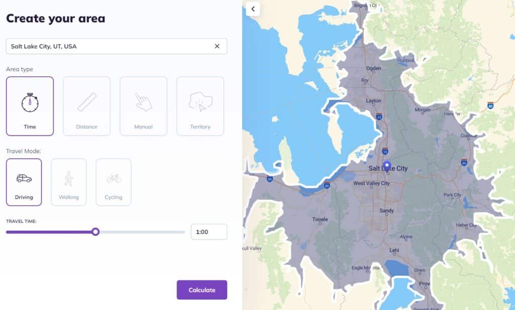 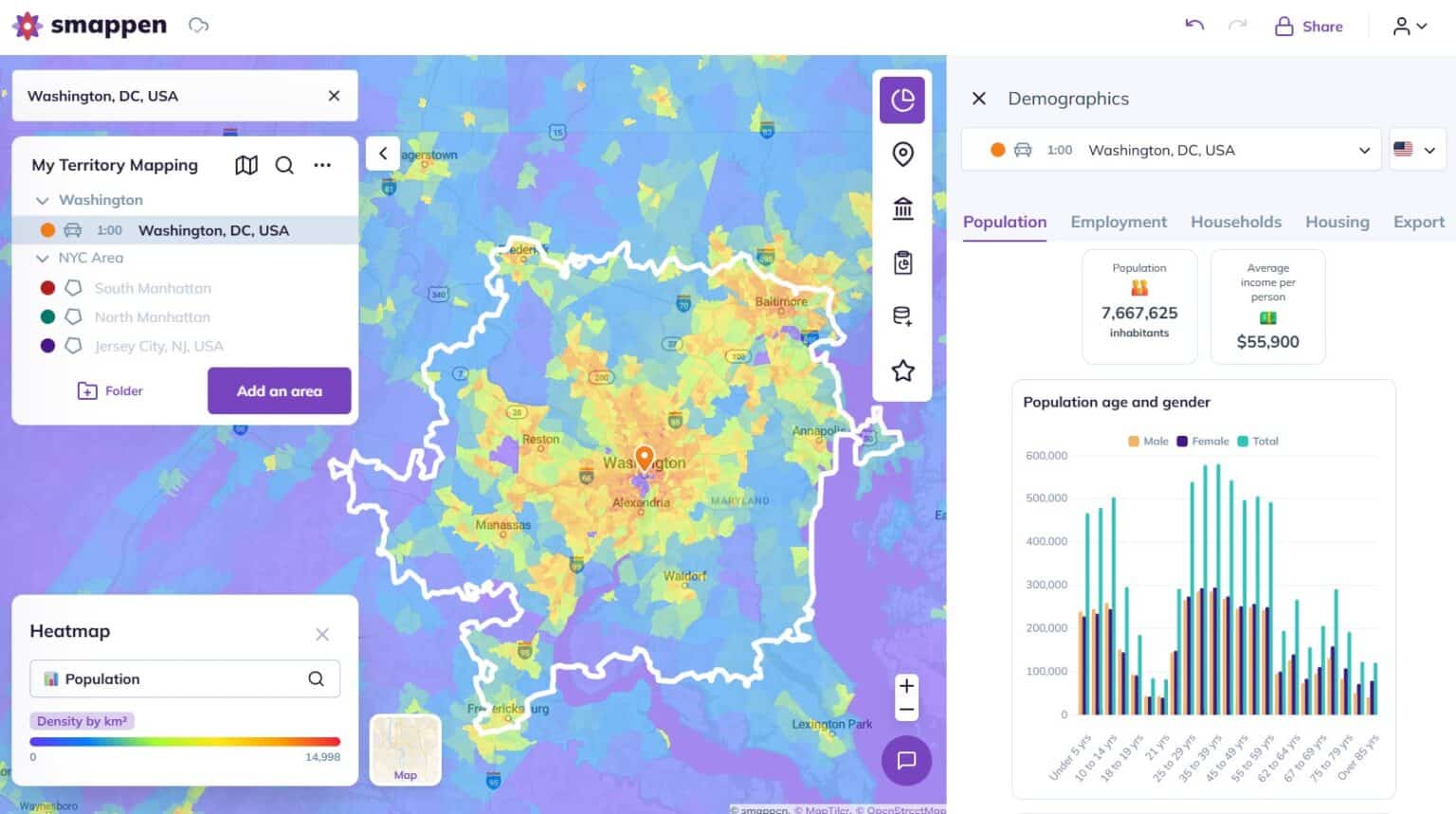   |