Esri in Redlands, California offers ArcGIS, a geographic information system.
$100
per year
Ignite UI
Score7 out of 10
N/A
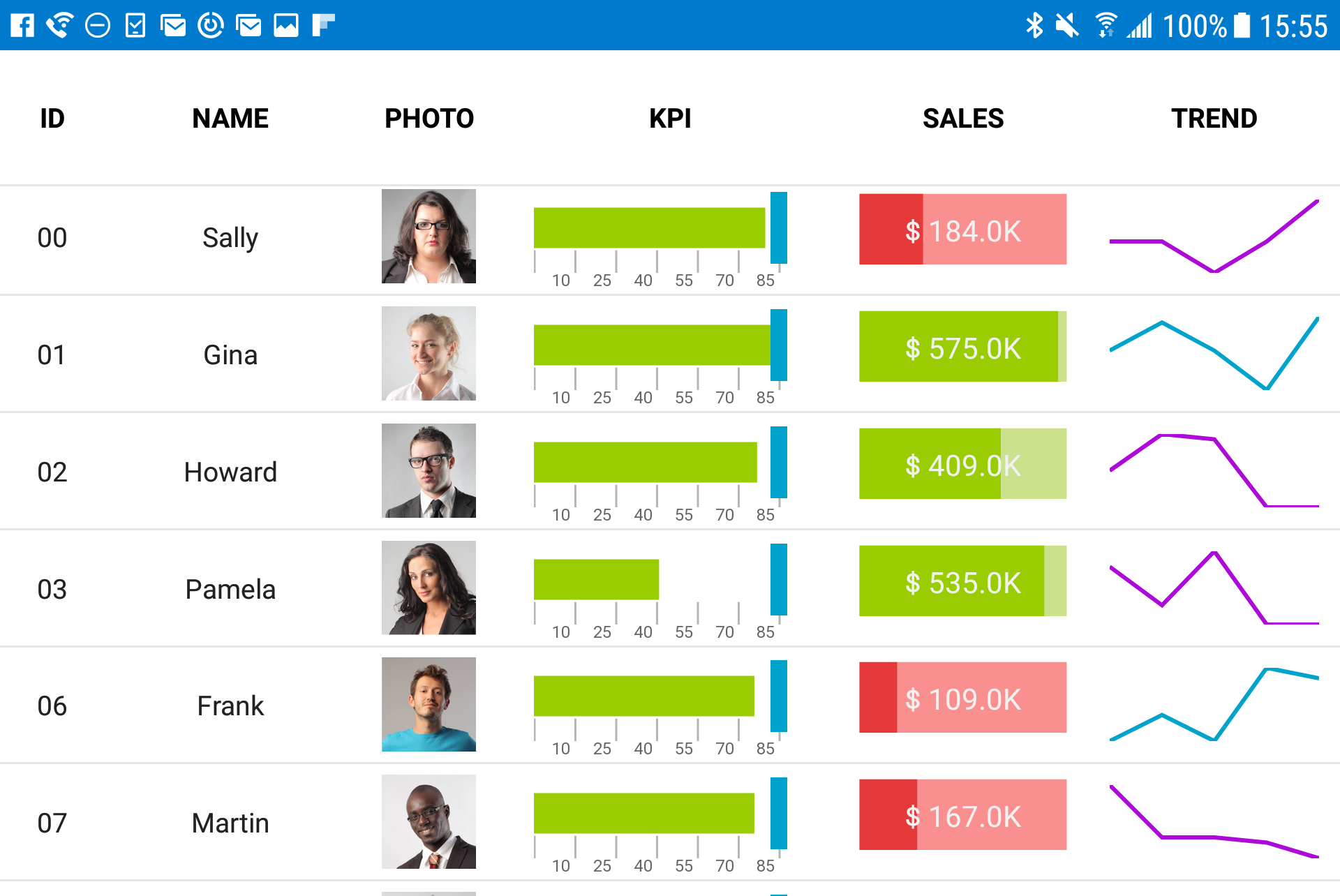
New Jersey based Infragistics offers .NET controls.
$1,295
per year per user
Mapbox
Score8.5 out of 10
Mid-Size Companies (51-1,000 employees)
Mapbox is the location data platform for developers building custom geospatial features into mobile, web, and on-premise applications.
$0
per month
Pricing
ArcGIS
Ignite UI
Mapbox
Editions & Modules
Viewer
$100
per year
ArcGIS for Personal Use
$100
per year
ArcGIS for Student Use
$100
per year
Editor
$200
per year
Field Worker
$350
per year
Creator
$500
per year
GIS Professional Basic
$700
per year
GIS Professional Basic
2,750
per year
GIS Professional Advanced
3,800
per year
No answers on this topic
Starting Price
$0.00
Per 1000 users
Offerings
Pricing Offerings
ArcGIS
Ignite UI
Mapbox
Free Trial
No
Yes
Yes
Free/Freemium Version
No
No
Yes
Premium Consulting/Integration Services
No
No
Yes
Entry-level Setup Fee
No setup fee
No setup fee
No setup fee
Additional Details
—
—
Designed for businesses of all sizes, Mapbox is free to start building with and offers free tiers for most products. As usage grows, volume pricing is applied automatically, no negotiation necessary.
Pricing is based either on pay-as-you-go usage or negotiated sales contracts that unlock additional discounts for annual commitments.
Paid support plans are also available.
Supervisor- Business Solutions and Analytics in Research & Development at Town of Oakville (Government Administration, 501-1000 employees)
Chose ArcGIS
To be honest, there isn't really any competition to ArcGIS, while there are smaller applications such as QGIS, they are not enterprise. Meaning that they might do onething well, but not at a enterprise level. Other applications such as Google Maps API, and Mapbox, is just …
A de minimis incentive was given to thank the reviewer for their time. The incentive was not used to bias or drive a particular response, nor was the incentive contingent on a positive endorsement. TR verified that a representative sample of customers was invited. More Info
Economist in Information Technology at Greengate Plans (Financial Services, 11-50 employees)
Chose ArcGIS
These alternatives to ArcGIS have one thing in common - they are all generally more user-friendly, and they all lack the capability of ArcGIS. ArcGIS can do most anything geographically-related, while these other products do one or two things very well. For instance, ArcGIS's …
A de minimis incentive was given to thank the reviewer for their time. The incentive was not used to bias or drive a particular response, nor was the incentive contingent on a positive endorsement. More Info
Verified User
Chose ArcGIS
There is a reason why ArcGIS and Esri is still a leader in the spatial data industry. Their tools are irreplaceable, though many other mapping companies are taking the technology further and enabling their maps to be better seen or used on a web-based platform or browser. …
A de minimis incentive was given to thank the reviewer for their time. The incentive was not used to bias or drive a particular response, nor was the incentive contingent on a positive endorsement. More Info
A de minimis incentive was given to thank the reviewer for their time. The incentive was not used to bias or drive a particular response, nor was the incentive contingent on a positive endorsement. More Info
I'm very grateful to be able to use it, and I have a master's degree with a focus in Geospatial Analysis. There can be a bit of a learning curve, and I try to build user-friendly ways for volunteers to see & collect data. Meanwhile, if a colleague is less confident with building such a system, it may be more difficult for them to implement.
A de minimis incentive was given to thank the reviewer for their time. The incentive was not used to bias or drive a particular response, nor was the incentive contingent on a positive endorsement. More Info
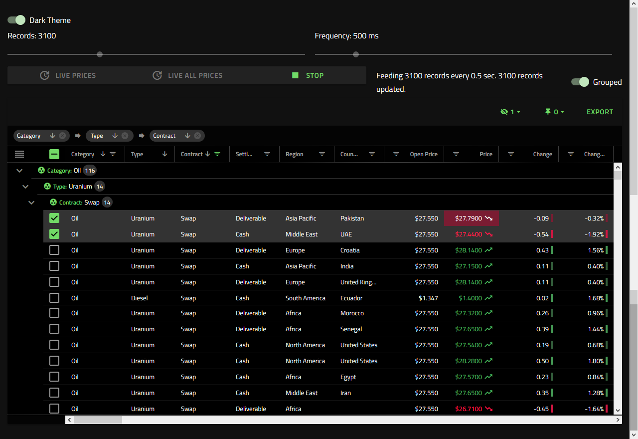
Angular is our framework of choice for a number of reasons. Business data is almost always displayed in a grid format. It makes sense to start with a strong widget that is powerful and fast when building applications. Ignite UI provides a complete toolset of widgets for other frameworks, but Angular is our focus. Ignite UI is helping us deliver a great UX/UI.
A de minimis incentive was given to thank the reviewer for their time. The incentive was not used to bias or drive a particular response, nor was the incentive contingent on a positive endorsement. More Info
For services that require maps and basic geo-functionality in production, Mapbox is one of the greatest choices out there. They're free, provide much more refined/modern productions compared to Google maps, and have very good support on different platforms. For services that require higher-computation products, like matrix routing, optimization, etc..., the prices can get quite high very quickly, and you should consider moving those services to an on-premise server at that point.
A de minimis incentive was given to thank the reviewer for their time. The incentive was not used to bias or drive a particular response, nor was the incentive contingent on a positive endorsement. More Info
A de minimis incentive was given to thank the reviewer for their time. The incentive was not used to bias or drive a particular response, nor was the incentive contingent on a positive endorsement. More Info
A de minimis incentive was given to thank the reviewer for their time. The incentive was not used to bias or drive a particular response, nor was the incentive contingent on a positive endorsement. More Info
A de minimis incentive was given to thank the reviewer for their time. The incentive was not used to bias or drive a particular response, nor was the incentive contingent on a positive endorsement. More Info
A de minimis incentive was given to thank the reviewer for their time. The incentive was not used to bias or drive a particular response, nor was the incentive contingent on a positive endorsement. More Info
A de minimis incentive was given to thank the reviewer for their time. The incentive was not used to bias or drive a particular response, nor was the incentive contingent on a positive endorsement. More Info
A de minimis incentive was given to thank the reviewer for their time. The incentive was not used to bias or drive a particular response, nor was the incentive contingent on a positive endorsement. More Info
Simply because the program deserves it. It seems to me that it is a fundamental tool for the storage, analysis, and interpretation of medium and large-scale phenomena, unmanageable with traditional engineering software. Its versatility in the handling of the different "layers" with which the data is handled and interpolation tools, make this software a powerful ally both for companies and for the educational part of the universities.
Once set up, the tools are extremely easy to use. I had a staff member develop a tool for field data collection, that included an external and internal dashboards to monitor progress in days. The field workers that collected the data, barely knew how to use a computer, and within minutes they could use the application that was configured for them.
A de minimis incentive was given to thank the reviewer for their time. The incentive was not used to bias or drive a particular response, nor was the incentive contingent on a positive endorsement. TR verified that a representative sample of customers was invited. More Info
It is a good tool to use. We can perform various customisations; I always end up exploring and finding a new feature that can be used in my work somewhere. And one good thing is that is actually quite reasonable in terms of cost, with the free tier being quite adequate
A de minimis incentive was given to thank the reviewer for their time. The incentive was not used to bias or drive a particular response, nor was the incentive contingent on a positive endorsement. More Info
Unlike other platforms (ex: EMSI), there is no "help desk" new users can easily call into for troubleshooting or errors, and so you have to spend LOTS of time trying workarounds. This is also because the help center blog posts are usually pretty confusing, and many times do not include images or videos to help you along. Any such changes would be immensely useful!
My students love the "drop" feature in Google Maps, but besides that it truly doesn't compare. I love that you can add, delete, or change layers to this map to better understand its larger affect. There are many more ways to manipulate maps on ArcGIS than on Google Maps. I can also add personal details and information if I want to create a specific map, something that I am unable to do with Google
A de minimis incentive was given to thank the reviewer for their time. The incentive was not used to bias or drive a particular response, nor was the incentive contingent on a positive endorsement. More Info
We tried DevExpress when we started a project a couple of years ago. At the time, the documentation and ease of use went to Infragistics. When trying new or updated tools, the documentation and samples are everything. Having minimal documentation or documentation that seems to be written for people that already know how to use the product is just plain frustrating. Samples need to be something close to the real-life usage of the product.
A de minimis incentive was given to thank the reviewer for their time. The incentive was not used to bias or drive a particular response, nor was the incentive contingent on a positive endorsement. More Info
One feature that made me go in favor of Mapbox was its stellar documentation. Google Maps and Bing Maps are the other alternatives I considered, but the learning curve with both of them is steeper than it is with Mapbox. Also, Mapbox Studio gives newbies a very simple, clean and easy to use environment to make and store maps online
A de minimis incentive was given to thank the reviewer for their time. The incentive was not used to bias or drive a particular response, nor was the incentive contingent on a positive endorsement. More Info
A de minimis incentive was given to thank the reviewer for their time. The incentive was not used to bias or drive a particular response, nor was the incentive contingent on a positive endorsement. More Info
A de minimis incentive was given to thank the reviewer for their time. The incentive was not used to bias or drive a particular response, nor was the incentive contingent on a positive endorsement. More Info
Mapbox is the only service that has all the products we need to release our product to the market. Without Mapbox, we would've spent far more time integrating multiple different map/geo services like Mapbox and HERE maps together.
Mapbox was sometimes expensive in the testing period, and we would've definitely moved some of the services on-premise to save money if we had the time.
Mapbox has functionality for traffic-aware routing in many countries, as well as matrix-structured routing data, which is what enables our service to function. Having all of this integrated within an API allows us to easily scale our service to multiple different cities/countries in a matter of days.
A de minimis incentive was given to thank the reviewer for their time. The incentive was not used to bias or drive a particular response, nor was the incentive contingent on a positive endorsement. More Info